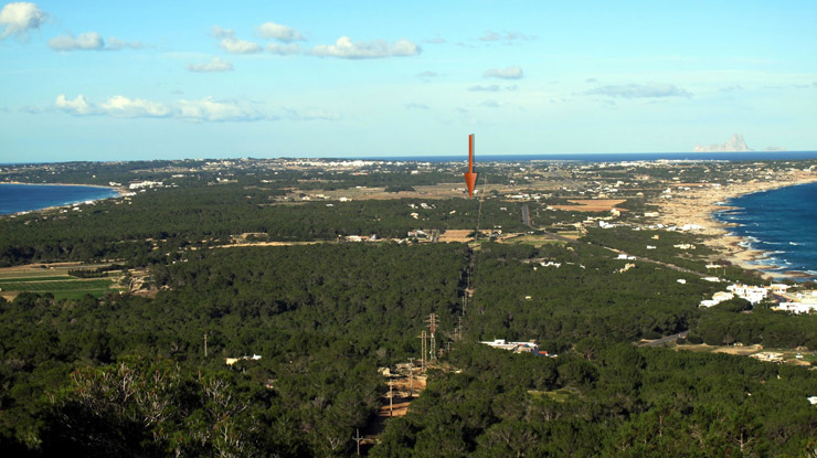
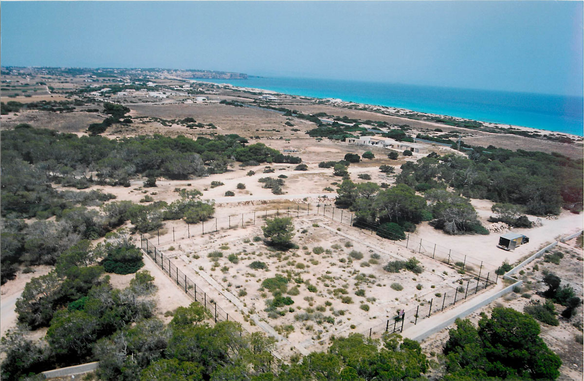
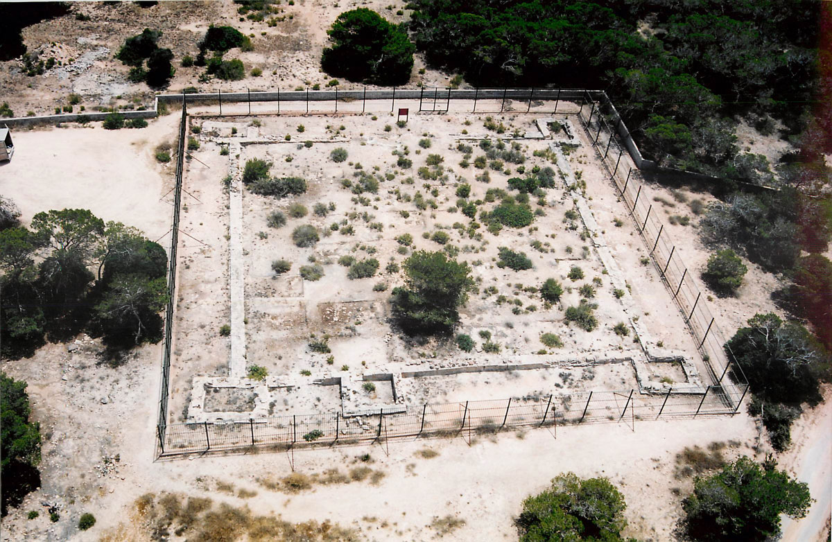
El yacimiento de Can Blai (o también de Can Pins) se encuentra situado en la parroquia del Pilar de la Mola, en la isla de Formentera, approximately in the center of theisland on the isthmus which links the two hills of the island. It is situated at a high point, twenty meters above the sea level. From this site, it is possible to control the northern coast of Formentera and the oriental coast of Ibiza, as well as the meridional coasts of Formentera, invisible from Ibiza (fig. 1).
The structure is a fortification typical of a “quadriburgium” common between the end of the second and the sixth century AD (Reddé 1995). The fortification is a rectangular wall of small dimension with angle towers. It is located at a short distance from the “Cami Vell” which crosses the island in its whole length between the two headlands. Across the other side of the road one can find the remains of an old tank, whose function was to provide water for the potential users of the fortification. One can reach the site at the kilometre 10, towards the south, at about two hundred meters from the road which leads from La Savina to la Mola.


